According to Australia’s Bureau of Meteorology, the middle of May has marked the end to one of the strong El Nino events in history. This warm water phenomenon is being blamed, at least in part, to generating the hottest global temperatures in more than 130 years as records for worldwide heat have been falling for 12 consecutive months.
The Australian Weather Bureau also said that “sea-surface temperatures have cooled to neutral levels over the past fortnight, supported by much cooler than average waters beneath the surface.” This may be one indicator that the cooler than normal sea-surface temperature event, La Nina, will be forming. The Weather Bureau also said that, “in the atmosphere, indicators such as the trade winds, cloudiness near the Date Line, and the Southern Oscillation Index have also returned to neutral levels.” This means we’re now in a La Nada, the in-between El Nino and La Nina event.
The U.S. Climate Prediction Center as well as the Australian Bureau of Meteorology seem to agree that a new La Nina will be forming in the very near future. The U.S. Climate Prediction Center gives a 75 percent chance that La Nina will come to life by the end of the year. However, they also mention that it could form sometime between July and September. The Australian computer models suggests that La Nina may form as soon as next month, but more likely to be seen between June and August.
Thanks to El Nino, palm oil prices hit a two-year high in March as drought hits parts of Asia and Australia. With a new La Nina pattern, heavy rains often return to Indonesia and India. This event also increases the chances of tropical storm and hurricane formation in the Atlantic and Caribbean waters, but decrease a bit in the Pacific Ocean regions.
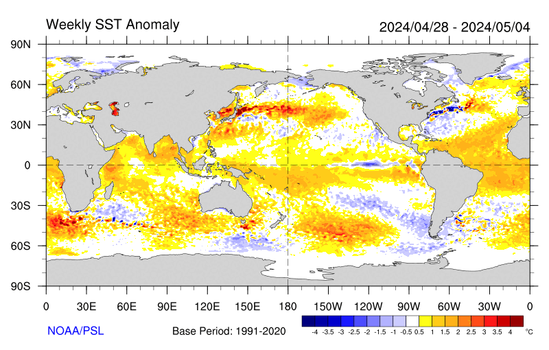
The latest sea-surface temperature data now shows a stretch of cooler than normal sea-surface temperatures along the Equatorial regions westward to the West Coast of South America. This is a strong indicator that we could indeed see that new La Nina pattern as soon as this summer.
Despite a new La Nada, there is still plenty of warmer than normal ocean waters in the Pacific Ocean. El Nino’s influence continues to be felt across other parts of the world. Across southeastern Asia, eastern and southern Africa, Central America and the Caribbean, severe drought has resulted in food shortages.
Cliff has been talking about a new Midwestern heat and drought pattern later this spring and summer that may be similar to the one back in 2012. During that year, extreme heat and dryness killed 123 people. It practically destroyed crops in the Corn Belt and caused over $31 billion in damages. This pattern was one of the worst since the infamous “Dust Bowl Days” of the 1930s. We see the big ridge of high pressure moving into the central portions of the country around mid to late June.
In California, a new La Nina is not good news. The southern portion of the state was counting on record rainfall from what was considered one of the strongest El Ninos in history. Unfortunately, most of the moisture fell to the north as this region received approximately 50 to 60 percent of normal rainfall for the 2015-16 season. In Northern California, totals were near 100 to 150 percent. It did help the drought situation, but many parts of the Golden State will be entering its 6th year of dryness. Lake Mead is now seeing some of the lowest levels in history.